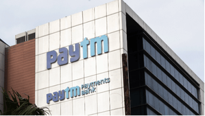
One 97 Communications Ltd, the parent company of Paytm, and Paytm Payments Bank Limited (PPBL) on Friday announced to discontinue various inter-company agreements, as the Reserve Bank of India (RBI) ban on the bank’s operations inches closer.
In a BSE filing, the company said that as part of the process to “reduce dependencies”, Paytm and PPBL have “mutually agreed to discontinue various inter-company agreements with Paytm and its group entities.”
Further, the shareholders of PPBL have agreed to simplify the Shareholders Agreement (SHA) to support PPBL’s governance, independent of its shareholders.
“The Board of OCL approved the termination of agreements and amendment of SHA on March 1, 2024,” the filing read.
The company had earlier announced to sign up new partnerships with other banks and take measures to provide seamless services for its customers and merchants.
“In its intimation to stock exchanges on Feb 1, 2024, the company had indicated the possible financial impact,” it said.


Services like Paytm app, Paytm QR, Paytm soundbox and Paytm Card machines will continue to work uninterrupted beyond the RBI’s March 15 deadline.
Paytm said it is committed to uphold the highest standards of market leading innovation and technology enabled solutions for its customers.
Late last month, Paytm’s Founder and CEO Vijay Shekhar Sharma stepped down as Non-Executive Chairman and Board Member of Paytm Payments Bank.
PPBL’s future business will be led by a reconstituted Board by OCL, after the RBI ban on the bank operations from March 15.